
Mapping and Geospatial Data Management
It involves the use of GIS (Geographic Information Systems) technology and mapping tools to visualize and manage water supply infrastructure.
Learn MoreGrievance Redressal and Transparency
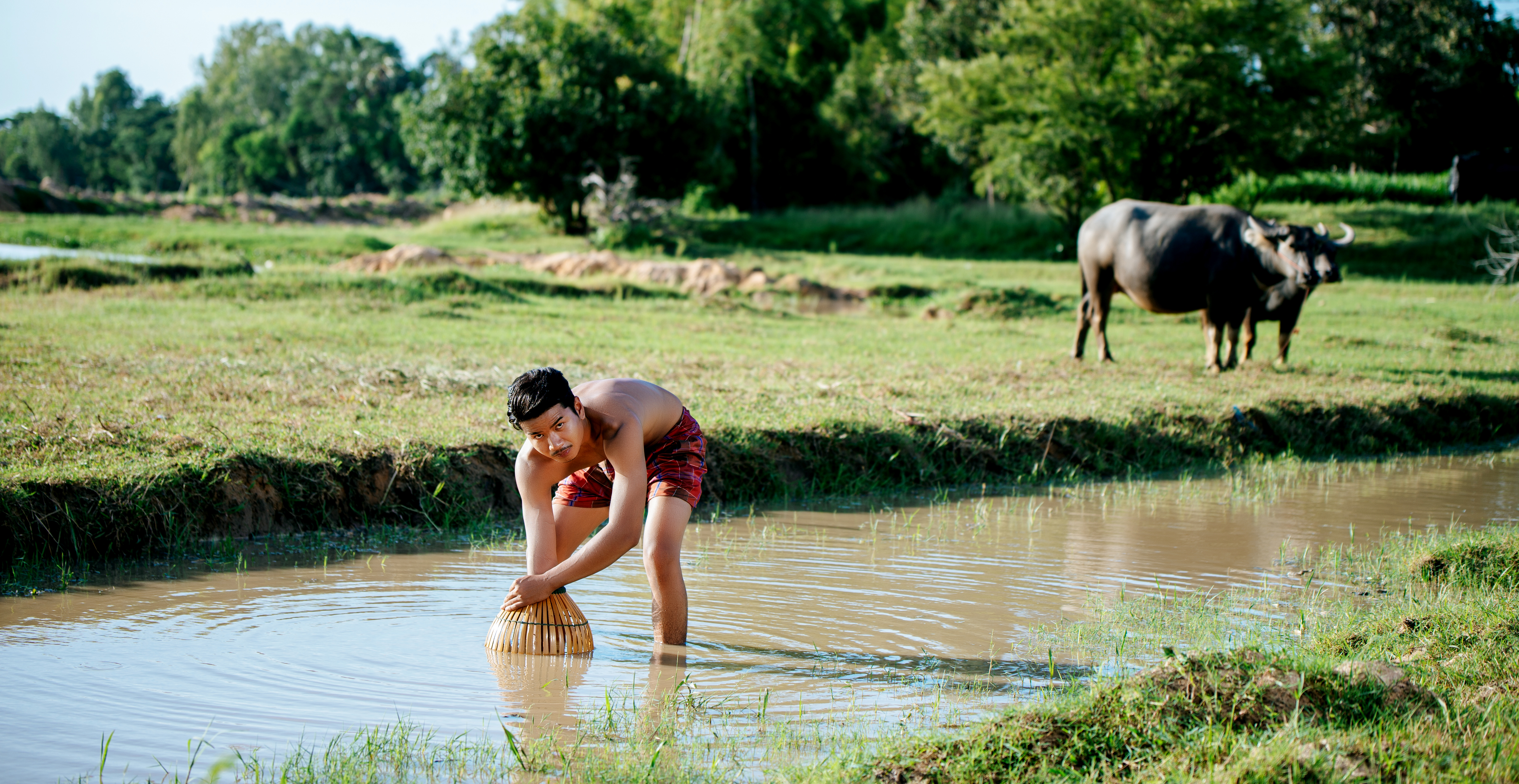
It includes a grievance redressal system that allows users, including rural community members, to report issues, concerns, or grievances related to water supply.
Learn MoreIoT Monitoring for Efficient Operations
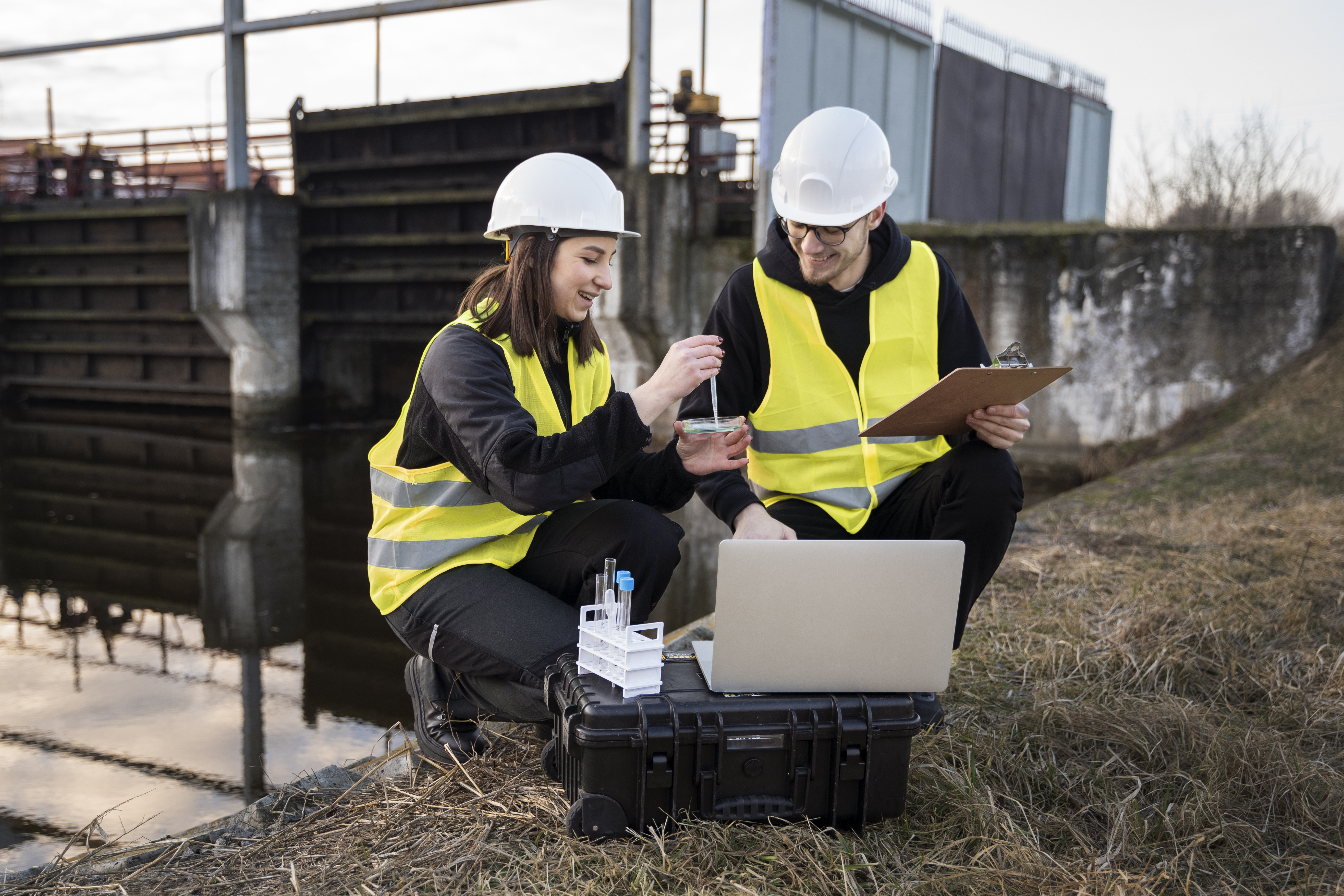
IoT sensors and devices are deployed to collect data on parameters like water flow rates, pressure, and quality indicators.
Learn More
About Us
Our mission is to empower communities and governmental bodies in their quest to provide clean and sustainable drinking water to every rural household. With a deep commitment to the Jal Jeevan Mission, we have developed an innovative web-based tool that integrates mapping, geospatial database management, grievance redressal, and IoT monitoring. Our dedicated team of experts is driven by a shared vision of ensuring access to clean water for all, and we are proud to contribute to this vital mission.
-
Universal Access
We envision a future where every rural household has access to clean and safe drinking water.
-
Sustainability
Our goal is to support sustainable and efficient water supply networks that endure for generations.
-
Empowerment
We aim to empower communities and authorities with the tools they need to manage water resources effectively.
Our Services
Mission Overview
Introduction to Jal Jeevan Mission, which aims to provide clean water to rural households in India
Mapping and Geospatial Data
Utilizes mapping and GIS technology to visualize and manage water supply infrastructure.

Grievance Redressal System
Allows users to report water supply issues transparently, enhancing issue resolution.
IoT Monitoring for Efficiency
Uses IoT technology to monitor water infrastructure in real-time, ensuring efficient operations.

Stakeholder Collaboration
Involves government agencies, local communities, NGOs, and technology partners in the project.

Future Sustainability
Focuses on long-term sustainability, innovation, and ongoing improvement in clean water supply.
Delivering Clean Water to Every Rural Home
Try Now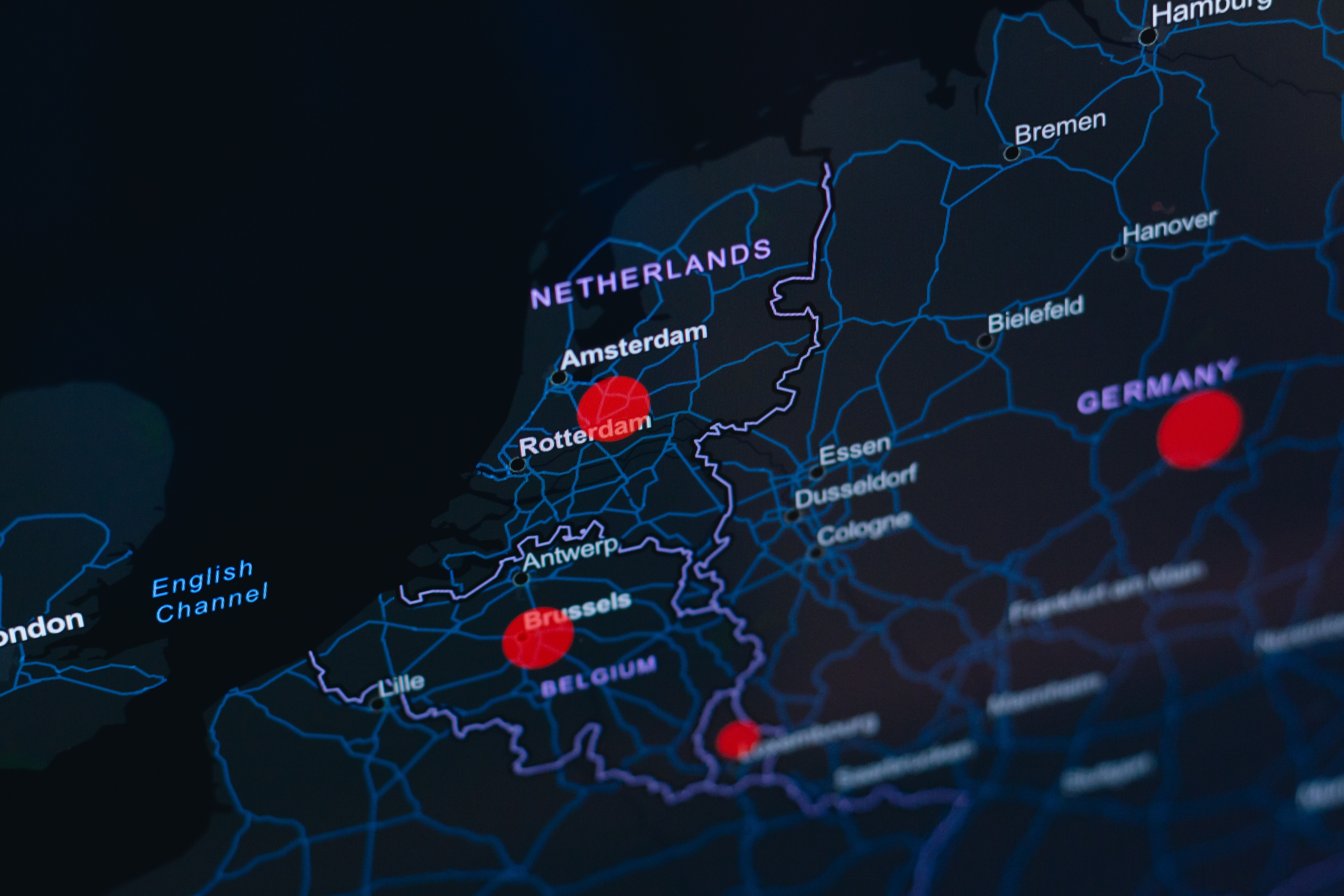
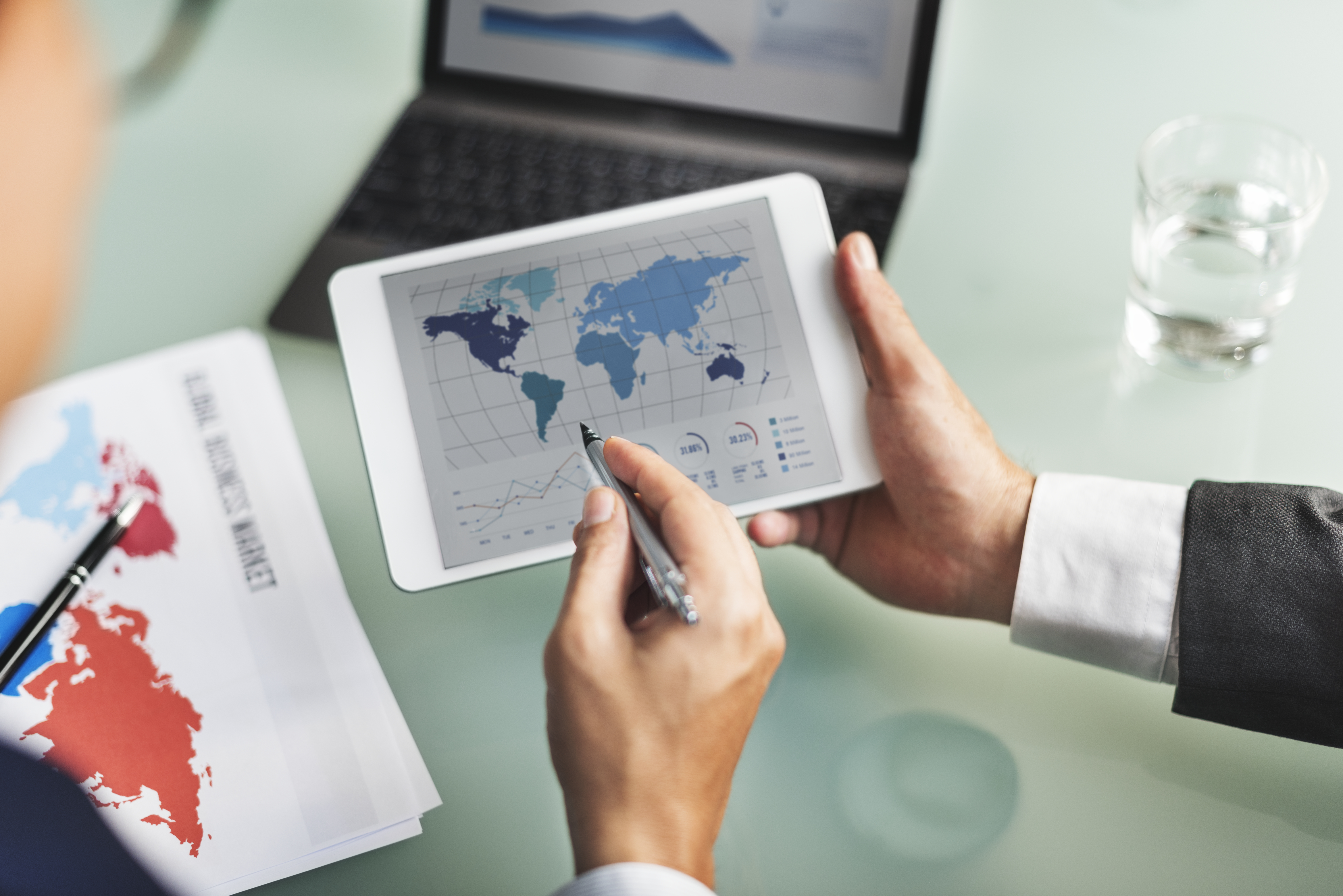
Mapping and Geospatial Database Management
- focuses on creating and maintaining a comprehensive geospatial database of water supply infrastructure, including pipelines, sources, treatment plants, and distribution points.
- It enables accurate visualization, monitoring, and management of the network's physical components using GIS technology.
- The mapping and geospatial data management pillar ensures that decision-makers have access to comprehensive, location-based information for effective planning, monitoring, and maintenance of the network.

IoT Monitoring and Data Analytics
- The IoT (Internet of Things) pillar involves deploying sensors and devices to collect real-time data on water flow rates, pressure, and quality indicators.
- This data is analyzed to optimize operations, predict maintenance needs, and ensure the continuous and efficient delivery of clean water.
Grievance Redressal and Transparency
- This pillar emphasizes community engagement and transparency. It includes a grievance redressal system that allows users to report water supply issues or concerns.
- The system tracks and resolves reported grievances transparently, and a public-facing interface enables users to monitor the status of their complaints.

Capacity Building and Stakeholder Engagement
- Capacity building involves training and empowering local communities and authorities to actively participate in the sustainable management of water supply networks.
- Stakeholder engagement involves collaboration with government agencies, NGOs, technology partners, and local communities to ensure collective efforts in achieving the mission's goals.